ទូរស័ព្ទ៖ +86 13943095588
satellite data providerssatellite data providers
China satelliteChina satellite

យានអវកាស

យើងគឺជាអ្នកផ្តល់សេវាកម្មប្រកបដោយវិជ្ជាជីវៈ

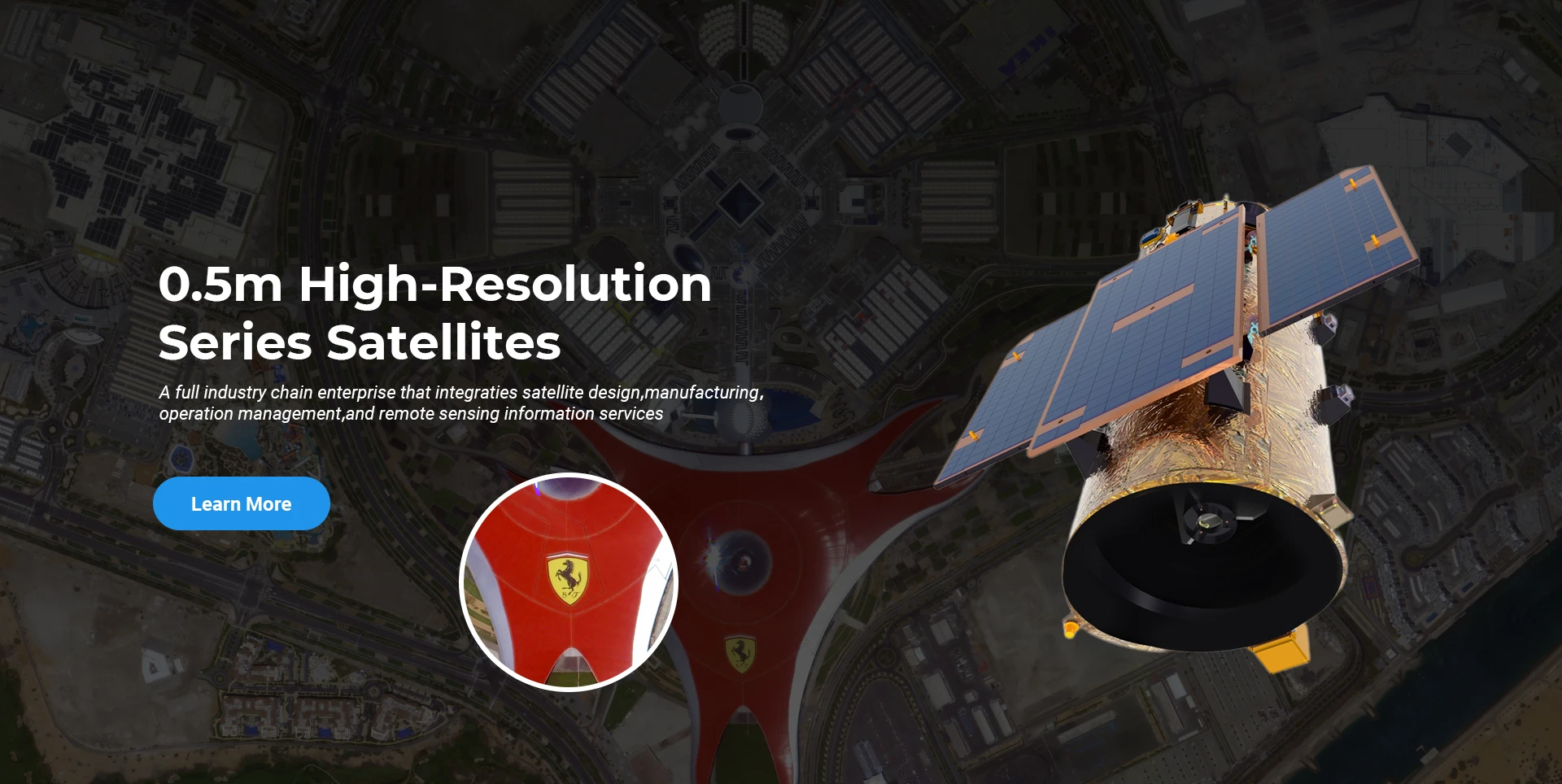
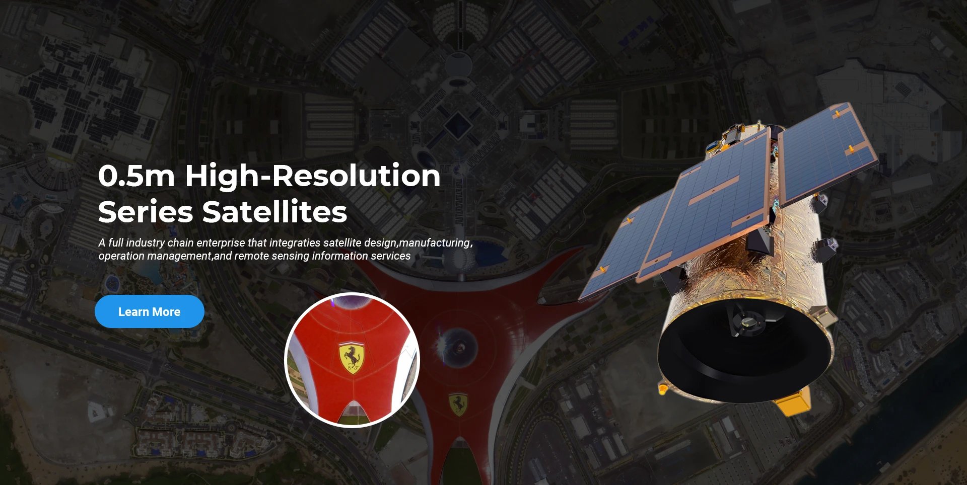
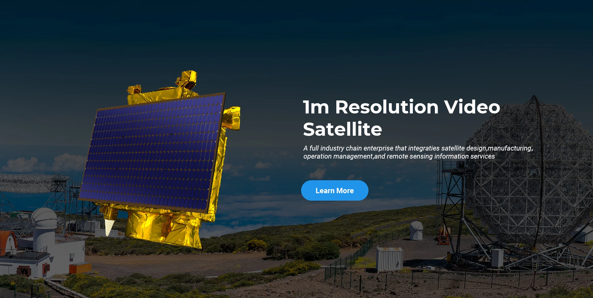
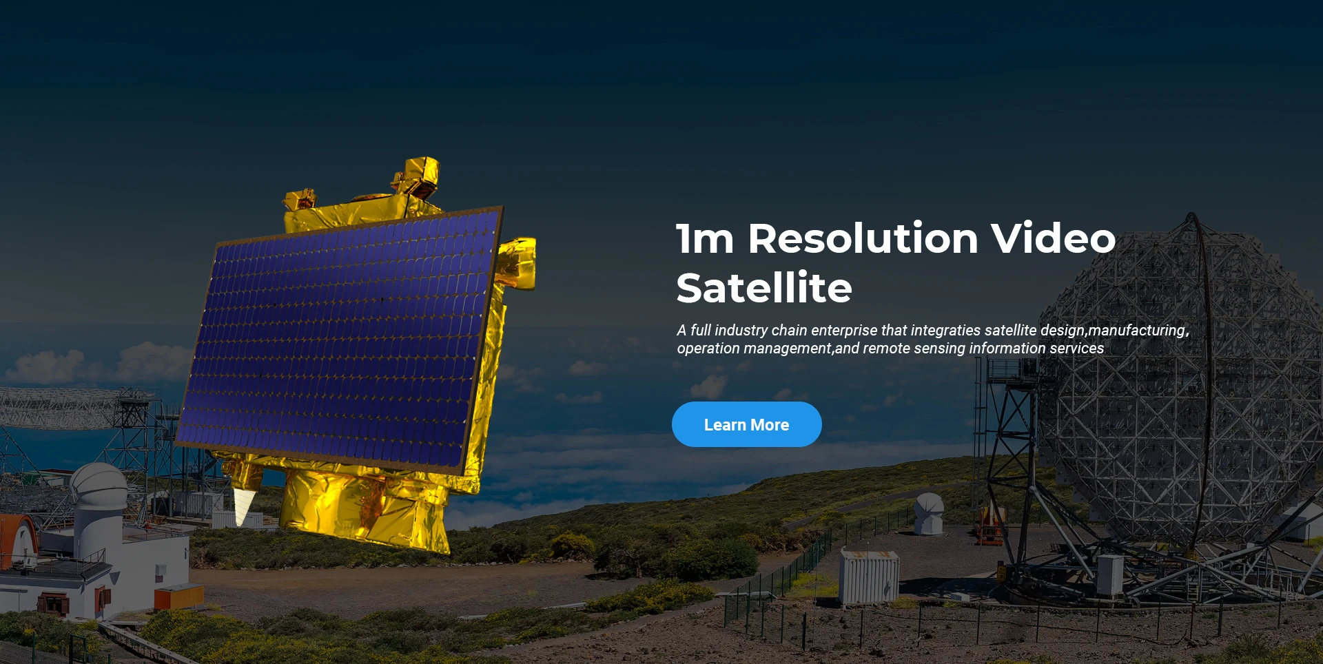
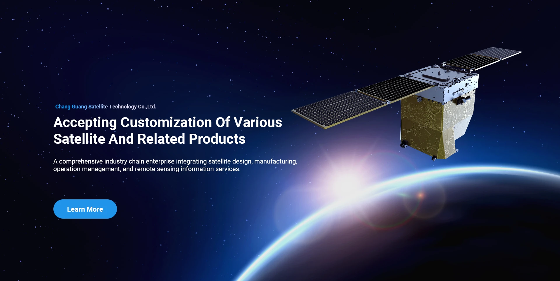
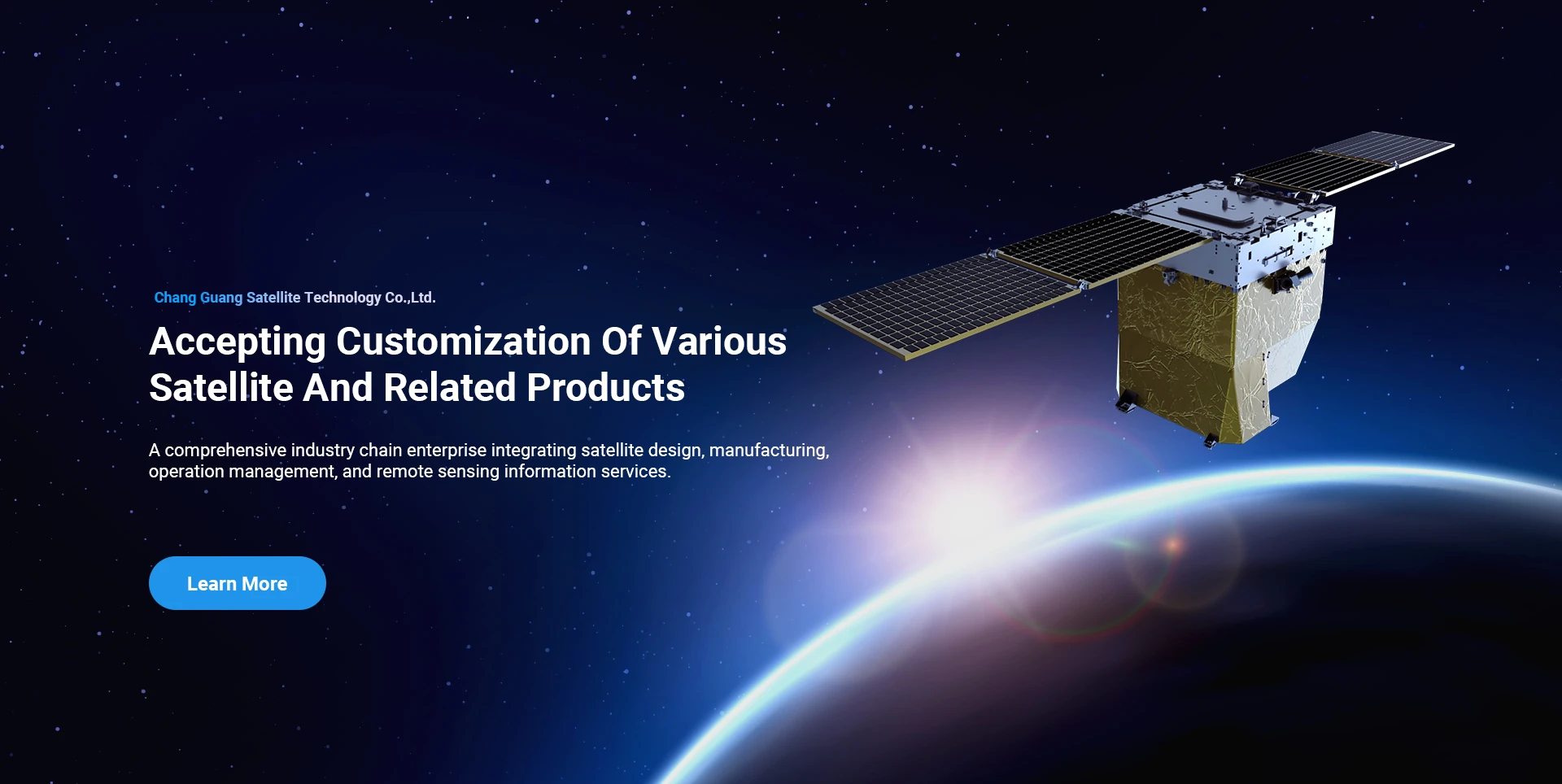
SpaceNavi តែងតែប្រកាន់ខ្ជាប់នូវគំរូអាជីវកម្មសម្រាប់ការអភិវឌ្ឍន៍រួមបញ្ចូលគ្នានៃការផលិតឧបករណ៍កម្រិតខ្ពស់ និងសេវាកម្មព័ត៌មាន ដោយផ្តោតលើការស្រាវជ្រាវ និងការអភិវឌ្ឍនៃផ្កាយរណបដែលមានសមត្ថភាពខ្ពស់ និងតម្លៃទាប និងសេវាព័ត៌មានដែលរួមបញ្ចូលគ្នារវាងអាកាស-អវកាស-ដី។
Satellite
high end equipment manufacturing high end equipment manufacturing

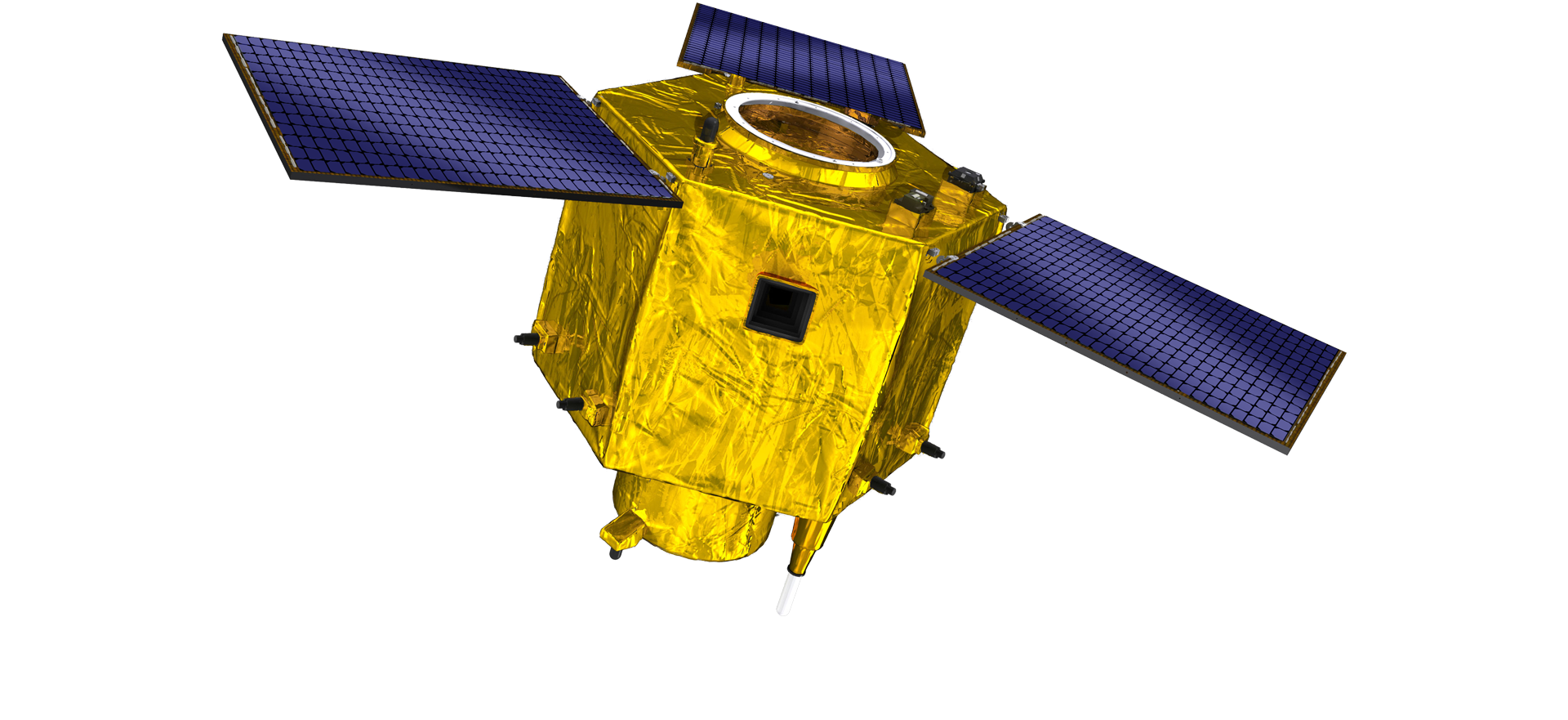
យានអវកាស ផ្តល់ អតិថិជនជាមួយនឹងសេវាកម្មផលិតផ្កាយរណបតាមតម្រូវការ។

ប្រសិនបើអ្នកចាប់អារម្មណ៍លើផលិតផលរបស់យើង អ្នកអាចជ្រើសរើសទុកព័ត៌មានរបស់អ្នកនៅទីនេះ ហើយយើងនឹងទាក់ទងទៅអ្នកក្នុងពេលឆាប់ៗនេះ។

អាកាស

ការស្ទង់មតិតាមអាកាសប្រកបដោយជោគជ័យ

កម្មវិធីតាមករណីសម្រាប់ជើងហោះហើរ

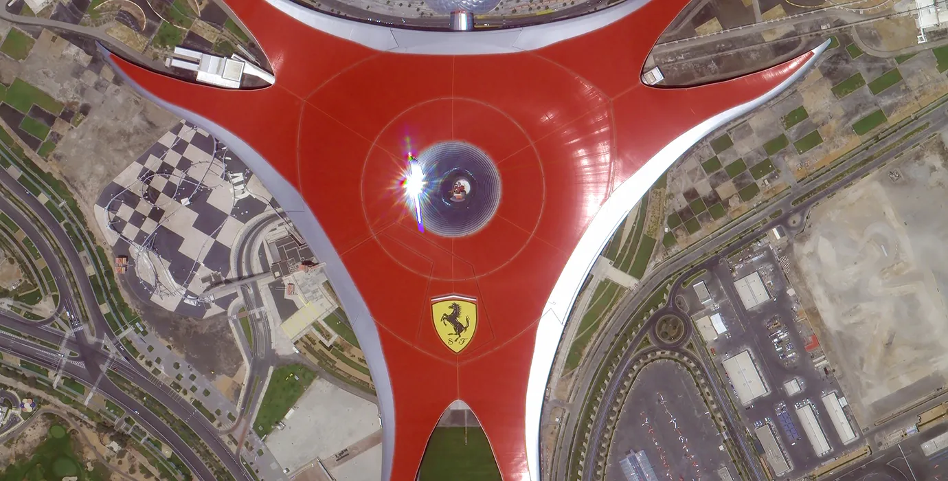
ផ្កាយរណបចាប់សញ្ញាពីចម្ងាយ

កម្រិត R&D

នៅក្នុងលក្ខខណ្ឌនៃ R&D ផ្កាយរណប ស្របតាមការវិនិច្ឆ័យនៃនិន្នាការអភិវឌ្ឍន៍បច្ចេកវិទ្យាផ្កាយរណប និងរបៀបអភិវឌ្ឍន៍ពាណិជ្ជកម្ម ក្រុមបច្ចេកទេសស្នូលបានទម្លាយគំនិតរចនាបែបប្រពៃណី និងបានអនុម័តផ្លូវបច្ចេកទេសនៃ "វេទិកាផ្កាយរណប និងការរួមបញ្ចូលការផ្ទុក" ។ បន្ទាប់ពីការរីកចម្រើនបួនដងក្នុងរយៈពេលដប់ឆ្នាំ ទម្ងន់របស់ផ្កាយរណបត្រូវបានកាត់បន្ថយមកត្រឹម 20kg ពី 400kg នៃជំនាន់ដំបូង។

Remote Sensing Satellite

តំបន់កែច្នៃអុបទិក

លក្ខខណ្ឌផលិតកម្ម

ផ្ទៃដីសរុបនៃតំបន់កែច្នៃអុបទិកគឺ 10000m2 ។ តំបន់នេះមានសមត្ថភាពផលិតសមាសធាតុអុបទិកដែលមានភាពជាក់លាក់ខ្ពស់ និងមានសមត្ថភាពក្នុងការដំណើរការសមាសធាតុអុបទិកដែលធ្វើពីសេរ៉ាមិចកញ្ចក់ និងស៊ីលីកុនកាបូន ជាដើម ពីរដុបទៅល្អិតល្អន់ ក៏ដូចជាការរកឃើញដែលត្រូវគ្នា។

Optical Processing Area

ក្រុមហ៊ុន និងឧស្សាហកម្ម

ប្លុក SPACENavi

នាពេលបច្ចុប្បន្ននេះ ក្រុមហ៊ុនបានសាងសង់ក្រុមតារានិករផ្កាយរណប sensing remote sensing ដ៏ធំបំផុតរបស់ពិភពលោក ដែលមានសមត្ថភាពសេវាកម្មខ្លាំង។

Aug, 25
28
What Is Remote Sensing in Geography: Exploring the Science of Earth Observation
Understanding what is remote sensing in Geography is fundamental to appreciating how modern science observes and analyzes the Earth’s surface and environment.
Aug, 25
28
Advantages of Remote Sensing: Unlocking New Perspectives on Earth Observation
The advantages of remote sensing have revolutionized how scientists, governments, and industries collect, analyze, and utilize information about our planet.
Aug, 25
28
Remote Sensing Process: The Essential Steps Behind Earth Observation
Understanding the remote sensing process is fundamental for anyone using satellite or aerial data to analyze the Earth's surface and atmosphere.
Aug, 25
28
Application of Remote Sensing: Transforming Earth Observation and Analysis
The application of remote sensing has revolutionized how scientists, governments, and industries monitor and manage Earth's resources and environments.
Aug, 25
28
Remote Sensing Data Examples: Exploring Diverse Sources of Earth Observation Information
The field of remote sensing relies heavily on the collection and analysis of various types of data to understand Earth's surface and atmosphere.
Aug, 25
28
Types of Remote Sensing: Understanding Different Approaches to Earth Observation
Remote sensing has become a cornerstone technology in geography, environmental science, and many other fields.
Aug, 25
27
Real-Time Satellite Imagery Free: Instant Access to Earth's Dynamic Changes
In today’s rapidly changing world, access to real-time satellite imagery free has become a vital resource for governments, scientists, businesses, and individuals who need up-to-date views of Earth’s surface.
Aug, 25
27
High Resolution Satellite App: Bringing Detailed Earth Imaging to Your Fingertips
In the age of digital technology and mobile computing, a high resolution satellite app has become an essential tool for users seeking to explore and analyze Earth’s surface directly from their smartphones or tablets.

ប្រសិនបើអ្នកចាប់អារម្មណ៍លើផលិតផលរបស់យើង អ្នកអាចជ្រើសរើសទុកព័ត៌មានរបស់អ្នកនៅទីនេះ ហើយយើងនឹងទាក់ទងទៅអ្នកក្នុងពេលឆាប់ៗនេះ។