Warning: Undefined array key "array_term_id" in /home/www/wwwroot/HTML/www.exportstart.com/wp-content/themes/1371/header-lBanner.php on line 78
Warning: Trying to access array offset on value of type null in /home/www/wwwroot/HTML/www.exportstart.com/wp-content/themes/1371/header-lBanner.php on line 78
GF Series Satellites-SpaceNavi Co.,Ltd.|High Resolution&Remote Sensing
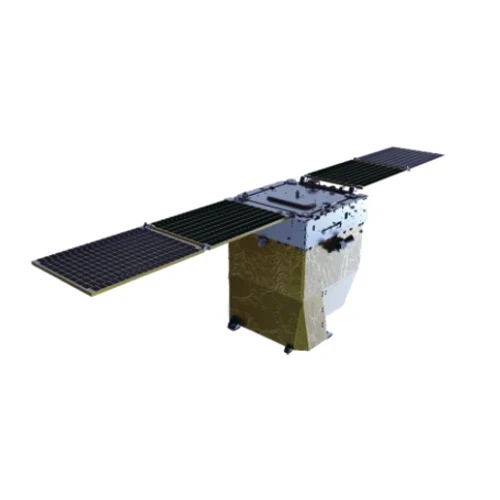
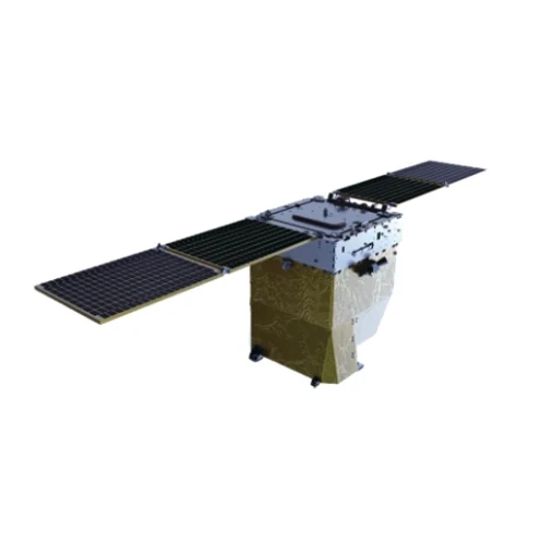
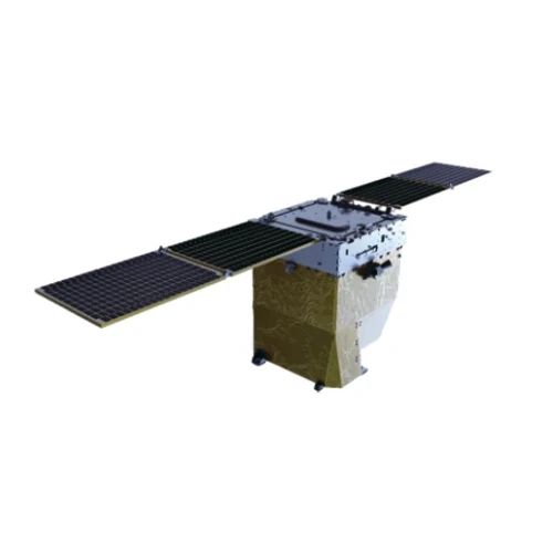
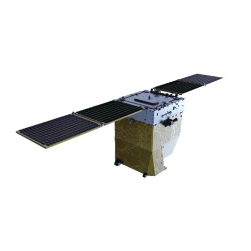
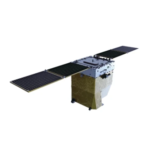
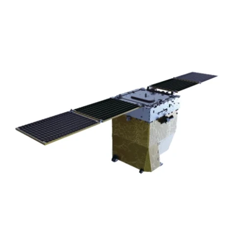
The GF Series satellites, developed by SpaceNavi Co., Ltd., represent a significant advancement in optical remote sensing technology. These satellites offer a resolution of 0.75 meters, enabling precise imaging for a wide range of applications. This article explores the product's features, technical specifications, and the company's commitment to innovation.
Product Overview
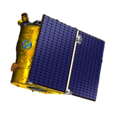
The GF Series satellites are part of the next generation of optical remote sensing satellites independently researched and developed by SpaceNavi Co., Ltd. These satellites are designed to deliver high-resolution imagery, supporting applications in agriculture, urban planning, environmental monitoring, and disaster management. The 0.75m resolution allows for detailed analysis of land use, infrastructure, and natural resources, making them a valuable tool for both governmental and commercial sectors.

Key Features and Advantages
The GF Series satellites are equipped with advanced imaging technology that ensures high accuracy and clarity. Here are some of the key features and advantages:
- High Resolution: The 0.75m resolution provides detailed imagery, allowing for precise monitoring of small-scale changes in the environment.
- Multi-Spectral Imaging: These satellites capture data across multiple spectral bands, enhancing the ability to analyze different aspects of the Earth's surface.
- Real-Time Data Acquisition: The satellites can quickly collect and transmit data, enabling timely decision-making for various applications.
- Cost-Effective Solutions: SpaceNavi Co., Ltd. offers competitive pricing, making high-resolution satellite imagery accessible to a broader range of users.
Technical Specifications
| Parameter | Specification |
|---|---|
| Resolution | 0.75 meters |
| Spectral Bands | Visible, Near-Infrared, Shortwave Infrared |
| Revisit Time | 1-3 days depending on orbit |
| Data Transmission Rate | Up to 10 GB/s |
| Orbit Type | Low Earth Orbit (LEO) |
| Launch Year | 2023 |
Applications in Various Industries
The GF Series satellites have a wide range of applications across different industries. Here are some of the key areas where these satellites can make a significant impact:
Agriculture
In agriculture, the high-resolution imagery from GF Series satellites can be used for crop monitoring, yield prediction, and soil analysis. Farmers can utilize this data to optimize resource allocation and improve crop productivity. According to the National Institute of Standards and Technology (NIST), advanced remote sensing technologies are crucial for enhancing agricultural efficiency and sustainability.
Urban Planning
Urban planners can leverage the detailed imagery provided by GF Series satellites to monitor land use, assess infrastructure development, and manage urban growth. The ability to capture real-time data allows for more informed decision-making and effective urban management strategies.
Environmental Monitoring
Environmental agencies can use these satellites to track changes in ecosystems, monitor deforestation, and assess the impact of natural disasters. The multi-spectral imaging capability enables the detection of environmental changes that may not be visible to the naked eye.
Disaster Management
In disaster management, the GF Series satellites can provide critical data for assessing damage, planning relief efforts, and monitoring recovery progress. The timely acquisition of data is essential for effective disaster response and mitigation strategies.
Company Background
SpaceNavi Co., Ltd., based in Ningbo, China, is a leading company in the field of remote sensing technology. The company has a strong commitment to innovation and is dedicated to providing cutting-edge solutions for various industries. With a focus on research and development, SpaceNavi has successfully developed the GF Series satellites, which are now recognized for their high-quality performance and reliability.
The company's mission is to harness the power of satellite technology to address global challenges, such as climate change, resource management, and urban development. By offering advanced remote sensing solutions, SpaceNavi aims to support sustainable growth and environmental conservation efforts worldwide.
Conclusion
The GF Series satellites with a 0.75m resolution are a testament to the advancements in remote sensing technology. With their high-resolution imaging capabilities and diverse applications, these satellites offer valuable insights for various industries. SpaceNavi Co., Ltd. continues to lead the way in innovation, ensuring that their products meet the evolving needs of the market.
References
National Institute of Standards and Technology (NIST). (n.d.). Driving Innovation. Retrieved from https://www.nist.gov


