
- អាហ្រ្វិក
- អាល់បានី
- អាំហារិក
- ភាសាអារ៉ាប់
- អាមេនី
- អាស៊ែបៃហ្សង់
- បាស
- បេឡារុស្ស
- បង់ក្លាដែស
- បូស្នៀ
- ប៊ុលហ្គារី
- កាតាឡាន
- សេប៊ូណូ
- ចិន
- Corsican
- ក្រូអាត
- ឆេក
- ដាណឺម៉ាក
- ហូឡង់
- ភាសាអង់គ្លេស
- អេស្ប៉ារ៉ាន់តូ
- អេស្តូនី
- ហ្វាំងឡង់
- បារាំង
- ហ្វ្រីសៀន
- ហ្គាលីសៀន
- ហ្សកហ្ស៊ី
- អាឡឺម៉ង់
- ក្រិក
- ហ្គូចារ៉ាទី
- ក្រេអូល ហៃទី
- ហូសា
- ហាវ៉ៃ
- ភាសាហេព្រើរ
- ទេ
- Miao
- ហុងគ្រី
- អ៊ីស្លង់
- អ៊ីកបូ
- ឥណ្ឌូនេស៊ី
- អៀរឡង់
- អ៊ីតាលី
- ជប៉ុន
- ជ្វា
- កាណាដា
- កាហ្សាក់ស្ថាន
- ខ្មែរ
- រវ៉ាន់ដា
- កូរ៉េ
- ឃឺដ
- កៀហ្ស៊ីស៊ី
- ពលកម្ម
- ឡាតាំង
- ឡាតវី
- លីទុយអានី
- លុចសំបួរ
- ម៉ាសេដូនៀ
- ម៉ាឡាហ្គាស៊ី
- ម៉ាឡេ
- ម៉ាឡាយ៉ាឡា
- ម៉ាល់តា
- ម៉ៅរី
- ម៉ារ៉ាធី
- ម៉ុងហ្គោលី
- មីយ៉ាន់ម៉ា
- នេប៉ាល់
- ន័រវេស
- ន័រវេស
- អូស៊ីតាន់
- ប៉ាសតូ
- ពែរ្ស
- ប៉ូឡូញ
- ព័រទុយហ្គាល់
- ពុនចាប៊ី
- រ៉ូម៉ានី
- រុស្សី
- សាម័រ
- ស្កុតឡេក
- ស៊ែប៊ី
- ភាសាអង់គ្លេស
- សូណា
- ស៊ីនឌី
- ស៊ីនហាឡា
- ស្លូវ៉ាគី
- ស្លូវេនី
- សូម៉ាលី
- ភាសាអេស្ប៉ាញ
- ស៊ុនដា
- ស្វាហ៊ីលី
- ស៊ុយអែត
- តាកាឡុក
- តាជីក
- តាមីល
- តាតា
- តេលូហ្គូ
- ថៃ
- ទួរគី
- តួកមេន
- អ៊ុយក្រែន
- អ៊ូឌូ
- អ៊ុយហ្គួរ
- អ៊ូសបេក
- វៀតណាម
- វែល
- ជំនួយ
- យីឌីស
- យូរូបា
- ហ្សូលូ
ព័ត៌មានក្រុមហ៊ុន
សមត្ថភាពក្រុមហ៊ុន
នាពេលបច្ចុប្បន្ននេះ ក្រុមហ៊ុនបានសាងសង់ក្រុមតារានិករផ្កាយរណប sensing remote sensing ដ៏ធំបំផុតរបស់ពិភពលោក ដែលមានសមត្ថភាពសេវាកម្មខ្លាំង។ ដោយពឹងផ្អែកលើទិន្នន័យផ្កាយរណបចាប់សញ្ញាពីចម្ងាយ វាអាចផ្តល់ឱ្យអតិថិជននូវទិន្នន័យចាប់សញ្ញាពីចម្ងាយផ្កាយរណបជាមួយនឹងគុណភាពបង្ហាញពេលវេលាខ្ពស់ គុណភាពបង្ហាញទំហំខ្ពស់ គុណភាពបង្ហាញខ្ពស់ គ្របដណ្តប់តំបន់ធំទូលាយលឿន និងសេវាកម្មកម្មវិធីព័ត៌មានតាមលំហរួមបញ្ចូលគ្នាដោយផ្អែកលើទិន្នន័យចាប់សញ្ញាពីចម្ងាយផ្កាយរណប។
-
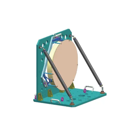
Improving Efficiency With Mechanical Equipment Solutions
In today's industrial and commercial sectors, the efficiency and performance of mechanical equipment are central to productivity.
-
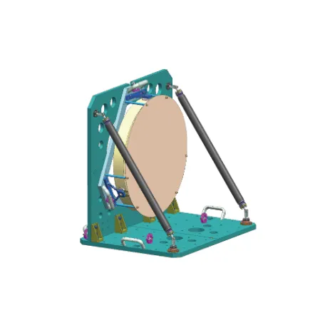
Driving Industrial Growth With Advanced Mechanical Equipment Services
In modern industrial and commercial operations, the importance of efficient, reliable, and well-maintained mechanical equipment cannot be overstated.
-
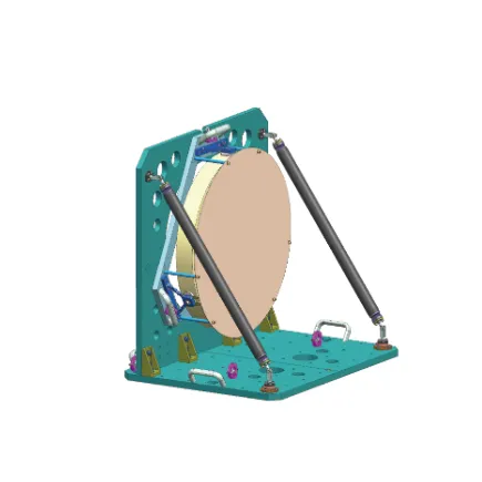
Improving System Efficiency With Modern Mechanical Equipment
In today’s industrial and commercial environments, mechanical equipment plays a vital role in keeping facilities running smoothly and efficiently.
-
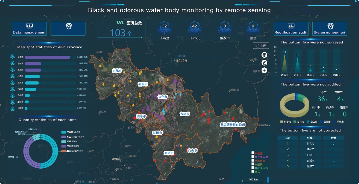
Transforming Global Intelligence With Remote Sensing Satellite Image Technology
In the modern digital era, the ability to observe, analyze, and respond to changes on Earth has been radically transformed by remote sensing satellite image technology.
-
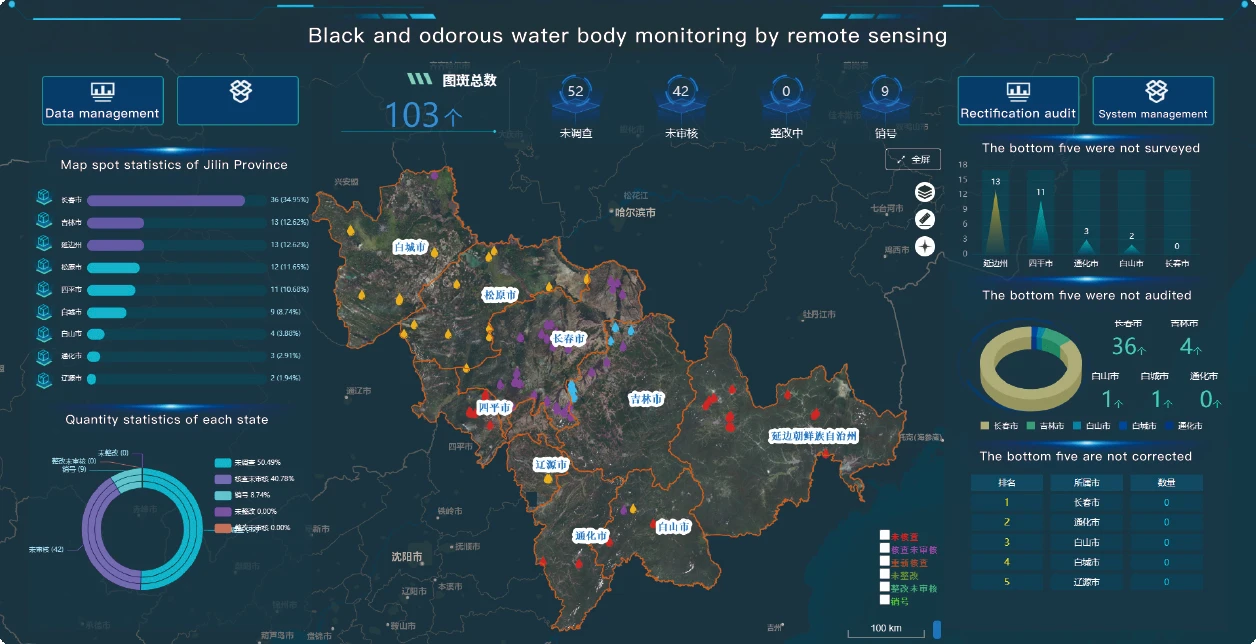
The Expanding Role Of Remotely Sensed Satellite Imagery In Global Observation
As the world faces mounting challenges from climate change, urban expansion, and resource management, the demand for accurate, timely, and accessible data is greater than ever.
-
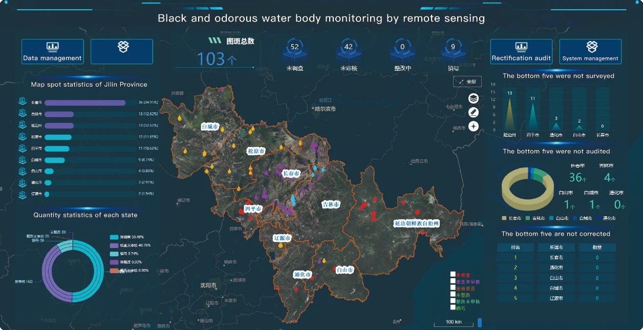
Analyzing Earth's Surface Through Panchromatic Satellite Imagery
The evolution of Earth observation has been marked by rapid advances in satellite imaging technologies.
-
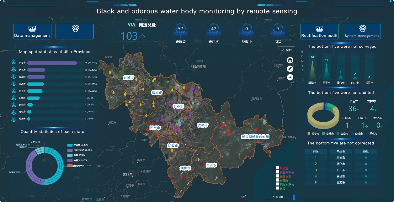
Precision And Perspective With High Resolution Remote Sensing Satellites List
As global interest in geospatial intelligence and environmental monitoring continues to rise, the role of satellites in capturing high-quality imagery has never been more crucial.
-
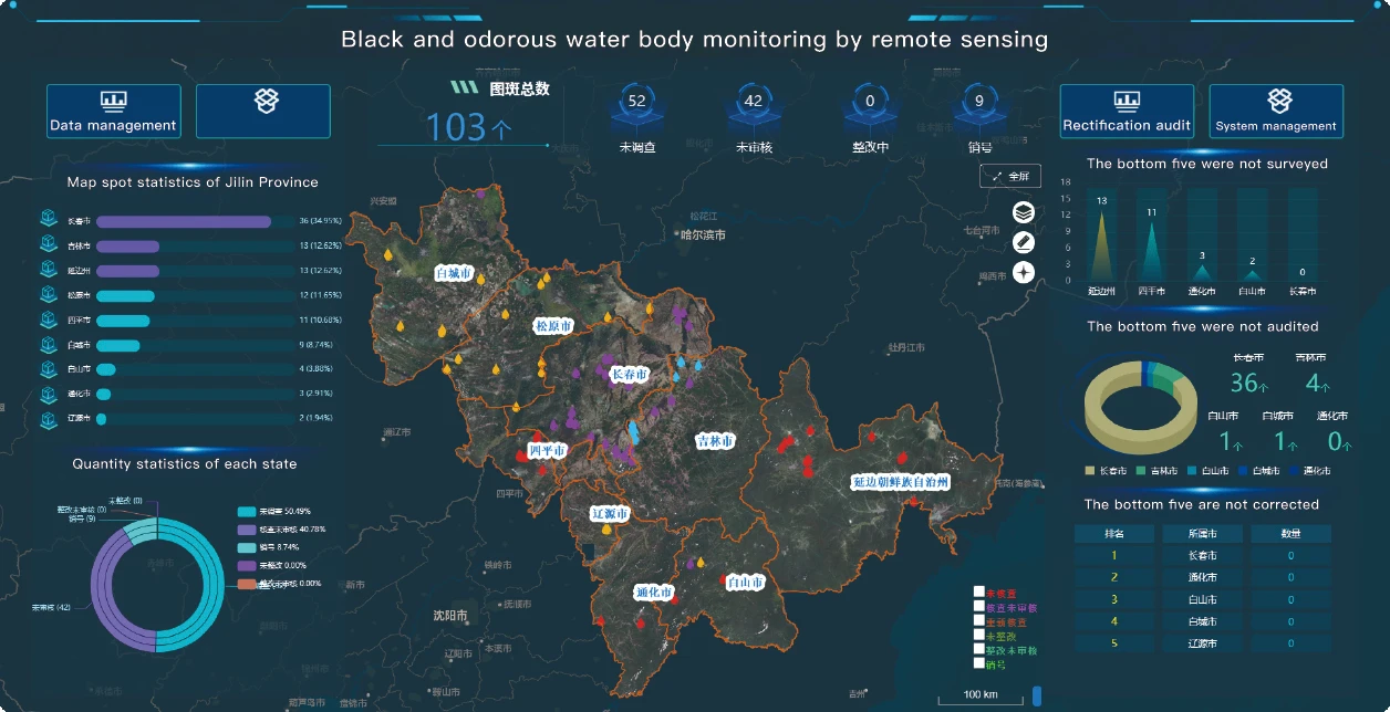
Revolutionizing Earth Observation With Remote Sensing And Satellite Imagery
In the age of digital transformation, remote sensing and satellite imagery have become indispensable tools for monitoring environmental changes, supporting urban development, and informing policy decisions.
-
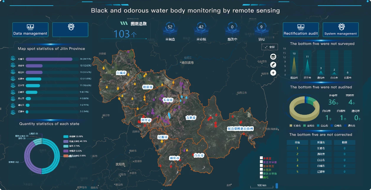
Unlocking New Frontiers With Satellite Remote Sensing Data
In today’s data-driven world, satellite remote sensing data is revolutionizing how we observe, analyze, and respond to changes on Earth.
-
The Future of Multispectral Cameras: Trends and Technologies
As the demand for enhanced imaging capabilities grows, multispectral cameras continue to evolve, incorporating cutting-edge technology and expanded functionality.
-
Multispectral Camera Technology: Innovations and Practical Insights
The advancement of multispectral cameras is shaping the future of imaging by capturing data across multiple spectral bands.
-
Expanding Horizons with Multispectral Camera Technology
The adoption of multispectral cameras continues to grow rapidly as industries recognize their value in providing detailed spectral data beyond the capabilities of standard imaging devices.