- africano
- albanese
- amarico
- arabo
- armeno
- Azero
- Basco
- Bielorusso
- bengalese
- Bosniaco
- bulgaro
- catalano
- Cebuano
- Cina
- Corso
- croato
- ceco
- danese
- Olandese
- Inglese
- esperanto
- Estone
- finlandese
- francese
- Frisone
- galiziano
- georgiano
- tedesco
- greco
- Gujarati
- Creolo haitiano
- Hausa
- hawaiano
- ebraico
- NO
- Miao
- ungherese
- islandese
- Igbo
- indonesiano
- irlandese
- Italiano
- giapponese
- giavanese
- Italiano:
- kazako
- khmer, lingua cambogiana
- Ruandese
- coreano
- Curdo
- kirghiso
- Lavoro
- latino
- lettone
- lituano
- Lussemburghese
- macedone
- malgascio
- malese
- Malayalam
- maltese
- Maori
- Italiano:
- mongolo
- Birmania
- Nepalese
- norvegese
- norvegese
- occitano
- Pashtu
- persiano
- Polacco
- portoghese
- Punjabi
- rumeno
- russo
- Samoano
- gaelico scozzese
- serbo
- Inglese
- Sciona
- Sindhi
- Singalese
- slovacco
- sloveno
- Somalo
- spagnolo
- Sudanese
- swahili
- svedese
- Italiano:
- Tagiko
- Italiano:
- tartaro
- Telugu
- tailandese
- turco
- Turkmeno
- ucraino
- Italiano:
- Uiguro
- Uzbeko
- vietnamita
- gallese
- Aiuto
- yiddish
- Iorubà
- Zulù
Unlocking Insights with Satellite Remote Sensing Data
As the world increasingly relies on space-based technologies, satellite remote sensing data has become a cornerstone of global decision-making. At SpaceNavi Co., Ltd., we specialize in delivering custom satellite systems that power the acquisition and processing of valuable satellite remote sensing data for industries, governments, and research institutions worldwide.
From Orbit to Application: The Role of Satellite Imaging
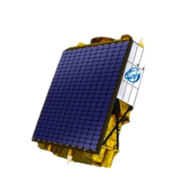
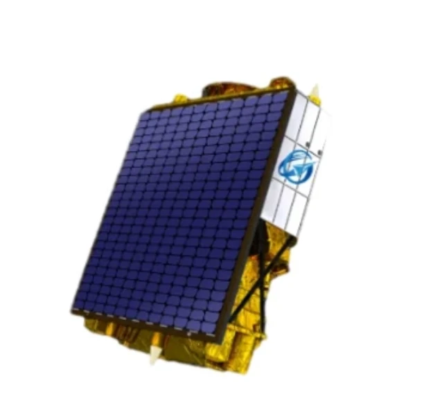
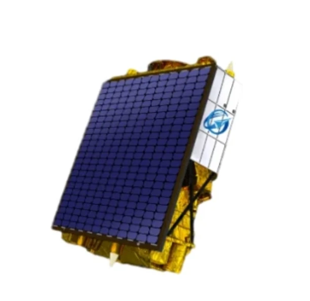
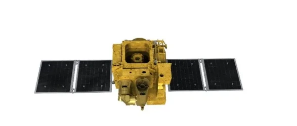
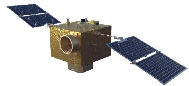
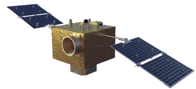
The generation of satellite remote sensing data begins with carefully engineered payloads designed to capture a variety of electromagnetic signals from Earth's surface. These systems, onboard SpaceNavi’s high-performance satellites, are tailored to support diverse missions ranging from environmental monitoring to urban development.
By leveraging our advanced optics and sensor platforms, we ensure that the remote sensing satellite image you receive is rich in detail, precise in alignment, and suitable for analysis in sectors such as agriculture, disaster response, and infrastructure planning.
Capturing Day and Night: Night Time Light Satellite Imagery
A major breakthrough in Earth observation has been the ability to collect night time light satellite imagery. This unique capability allows clients to analyze human activity after dark, track energy usage, or monitor natural events like wildfires and volcanic eruptions.
SpaceNavi integrates cutting-edge optical technology to produce clear and consistent night time light satellite imagery, even under low-light conditions. Our satellites are equipped with specialized sensors to detect subtle light variations with minimal distortion.
Supporting Analysis Through Panchromatic Satellite Imagery
In addition to multispectral imaging, panchromatic satellite imagery provides high spatial resolution in grayscale, making it ideal for identifying fine structural details. SpaceNavi offers customizable imaging payloads capable of collecting panchromatic satellite imagery with unmatched clarity.
This form of remote sensing and satellite imagery is particularly effective for applications such as road mapping, building inspection, and precision agriculture. Our clients benefit from high-contrast visuals that reveal features invisible to standard RGB sensors.
SpaceNavi: Delivering Trusted Remote Sensing Capabilities
With core strengths in satellite design, payload integration, and imaging precision, SpaceNavi Co., Ltd. empowers global users with real-time, actionable satellite remote sensing data. Our satellites don’t just collect images—they fuel insights and shape smarter decisions.


