- africano
- albanés
- amárico
- árabe
- armenio
- azerbaiyano
- vasco
- bielorruso
- bengalí
- bosníaco
- búlgaro
- catalán
- Cebuano
- China
- corso
- croata
- checo
- danés
- holandés
- inglés
- Esperanto
- Estonio
- finés
- francés
- frisona
- galego
- xeorxiano
- alemán
- grego
- Gujarati
- crioulo haitiano
- Hausa
- hawaiano
- hebreo
- Non
- Miao
- húngaro
- islandés
- igbo
- indonesio
- irlandesa
- italiano
- xaponés
- xavanés
- Kannada
- casco
- Khmer
- Ruandés
- coreano
- kurdo
- Kirguises
- Laboral
- latín
- letón
- lituano
- luxemburgués
- macedonio
- malgache
- malaio
- malayalam
- maltés
- maorí
- Marathi
- mongol
- Myanmar
- nepalí
- noruegués
- noruegués
- occitano
- Paxtú
- persa
- polaco
- portugués
- Punjabi
- romanés
- ruso
- samoano
- Gaélico escocés
- serbio
- inglés
- Shona
- Sindhi
- cingalés
- eslovaco
- esloveno
- somalí
- español
- sundanés
- suahili
- sueco
- Tagalo
- taxico
- Tamil
- tártaro
- Telugu
- tailandés
- turco
- turcomano
- ucraíno
- Urdú
- uigur
- uzbeco
- vietnamita
- galés
- Axuda
- yiddish
- ioruba
- Zulú
Multispectral Cameras in Satellite Remote Sensing: Capturing Earth Beyond the Visible
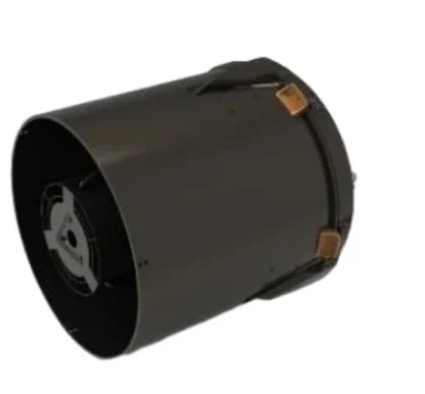
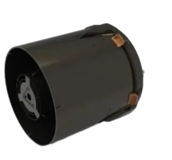
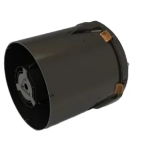
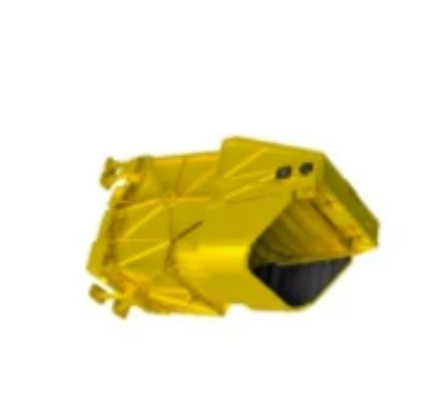
Satellites have revolutionized how we observe our planet—from predicting weather and assessing agricultural output to monitoring deforestation and responding to disasters. At the core of many of these Earth-observation missions lies one indispensable tool: the cámara multiespectral. Designed to capture data across different wavelengths, a satellite-mounted multispectral imaging camera provides rich visual and analytical information, far surpassing the capabilities of standard optical systems.
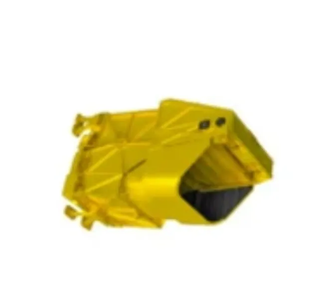
Whether you're managing resources on the ground or building data-driven environmental models, a high-quality multi spectral camera mounted on a satellite is one of the most powerful instruments available for remote sensing.
Unlocking Spectral Insight from Orbit
Unlike conventional cameras that capture only red, green, and blue (RGB) light, a cámara multiespectral collects information across specific bands—typically in the visible, near-infrared (NIR), and shortwave infrared (SWIR) regions. When launched into orbit, these cameras continuously scan the Earth’s surface, identifying unique spectral signatures of vegetation, soil, water, and even man-made structures.
The ability to distinguish between spectral bands allows researchers to detect crop stress, monitor algal blooms, or assess urban sprawl with remarkable precision. A multispectral visible imaging camera is particularly valuable when paired with an NIR or red-edge band, often used in vegetation indices like NDVI (Normalized Difference Vegetation Index).
With today’s compact sensor technology, organizations planning their own Earth-observation satellites often search for reliable multispectral camera buy options to match mission requirements, orbital height, and budget.
Satellite Imaging for Environmental Management
Environmental sustainability hinges on accurate, up-to-date information—and this is where multispectral imaging cameras excel. Satellite-borne multi spectral cameras enable global-scale monitoring of forests, oceans, wetlands, and glaciers. Through continuous and wide-area observation, scientists track seasonal changes, detect illegal land use, and model the impacts of climate change.
For instance, multispectral cameras on satellites like Landsat, Sentinel-2, or commercial CubeSats are used to:
Map forest degradation and carbon loss
Monitor desertification and erosion
Measure snow and ice cover for water resource planning
Track oil spills and other marine pollution events
Each of these applications depends on precision optics, including a robust multispectral lens designed to capture sharp imagery across diverse wavelengths without distortion.
Enhancing Agricultural and Resource Monitoring
Agricultural monitoring from space has been transformed by multispectral visible imaging cameras. These tools provide early warning signals about plant health, water stress, and nutrient deficiencies across vast farmland areas. When integrated with geospatial analytics, satellite data helps governments and businesses optimize irrigation, manage harvests, and respond to droughts.
Similarly, multispectral cameras are used to map mineral deposits, assess soil salinity, and evaluate deforestation patterns—supporting sustainable land use policies and resource allocation.
With more satellite missions shifting toward small satellite or CubeSat platforms, lightweight and low-power cámara multiespectral modules are increasingly sought after. Companies involved in satellite construction and remote sensing often prioritize compact multispectral camera buy packages that balance performance with weight and cost.
Future Outlook: Smarter Sensors and Real-Time Analytics
The future of remote sensing lies in fusing multispectral imaging cameras with real-time data analytics and AI processing. Satellite systems are now equipped with onboard computing that analyzes images as they are captured—detecting changes instantly and triggering alerts.
New-generation multi spectral cameras are also being designed to work alongside thermal, hyperspectral, and radar instruments—offering richer, multi-dimensional data that supports everything from disaster relief to supply chain monitoring.
As demand increases for earth observation services, the need for robust multispectral lenses, modular camera payloads, and advanced calibration tools will continue to grow.
The cámara multiespectral is a foundational technology in satellite-based remote sensing, empowering users with a deeper, more comprehensive view of our world. Whether it’s agriculture, environmental science, or natural resource management, a satellite equipped with a multispectral imaging camera provides the clarity, versatility, and coverage needed to make informed, real-time decisions.
As you explore multispectral camera buy options for orbital applications, focus on systems with optimized multispectral lenses and proven performance in low Earth orbit. In doing so, you position your mission to capture Earth—not just as it looks—but as it truly functions.


