- Afraganach
- Albànianach
- Amharic
- Arabach
- Armenianach
- Azerbaijani
- Basgach
- Belarusianach
- Bengàlach
- Bosnianach
- Bulgàrianach
- Catalanach
- Cebuano
- Sìona
- Corsicanach
- Croatianach
- Seacach
- Dànach
- Duitseach
- Sasannach
- Esperanto
- Estòinianach
- Fionnlaineach
- Frangach
- Frisianach
- Galicianach
- Georgianach
- Gearmailteach
- Grèigeach
- Gujarati
- Haitian Creole
- Hausa
- Hawaiianach
- Eabhrach
- Chan eil
- Miao
- Hungàrianach
- Innis Tìleach
- igbo
- And-Innseach
- Èireannach
- Eadailteach
- Iapanach
- Iabhaininnseach
- Kannada
- Kasakh
- Ciméireach
- Ruanda
- Corèanach
- Curdach
- Kyrgyz
- Làbarach
- Laidinn
- Latbhianach
- Lithuanianach
- Luxembourgach
- Macedonianach
- Malagasy
- Malaidheach
- Malayalamach
- Malteseach
- Maori
- Marathiach
- Mongolianach
- Myanmar
- Nepalach
- Lochlannach
- Lochlannach
- Occitan
- Pashto
- Persianach
- Pòlainneach
- Portugalach
- Punjabi
- Romànianach
- Ruiseanach
- Samoan
- Gàidhlig na h-Alba
- Serbianach
- Sasannach
- Shona
- Sindeach
- Sinhala
- Slovacanach
- Slobhenianach
- Somali
- Spàinneach
- Sundais
- Swahilieach
- Suaineach
- Tagalogach
- Tajik
- Tamileach
- Tatarais
- Telugach
- Thaidheach
- Turcach
- Turkmen
- Ucràinis
- Urdu
- Uighur
- Uzbek
- Bhietnam
- Cuimris
- Cuideachadh
- Giúdais
- Ioruba
- Zulu
Iarrtas Coilltearachd
|
Investigation and supervision of forestry resources |
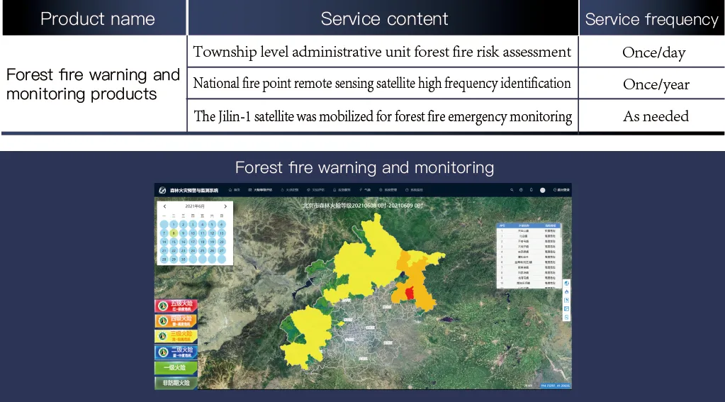
Forest fire warning and monitoring |
|
Forest distribution map |
Forest fire risk grade assessment |
|
Forest Type classification |
Forest fire point identification |
|
Woodland change monitoring |
Forest fire emergency monitoring |
|
Desertification monitoring |
Remote sensing measurement of fire area and post-disaster assessment |
|
Wetland resource supervision |
|
|
Supervision and assessment of natural protected areas |
|
Monitoring of forest pests and diseases |
other |
|
Monitoring of discolored standing trees in pine forests |
Verification of the project of returning farmland to forest |
|
Assessment of forest pest and disease risk levels |
Wildlife investigation and monitoring |
|
Survey of urban green space monitoring by remote sensing |
Forest Fire Warning And Monitoring Application
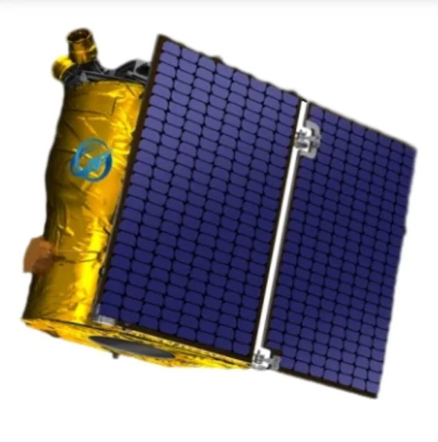
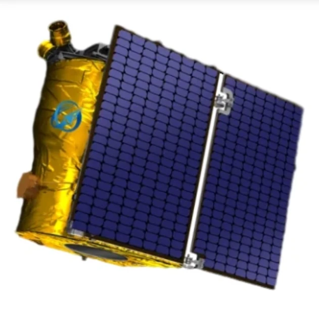
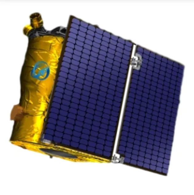
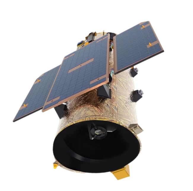
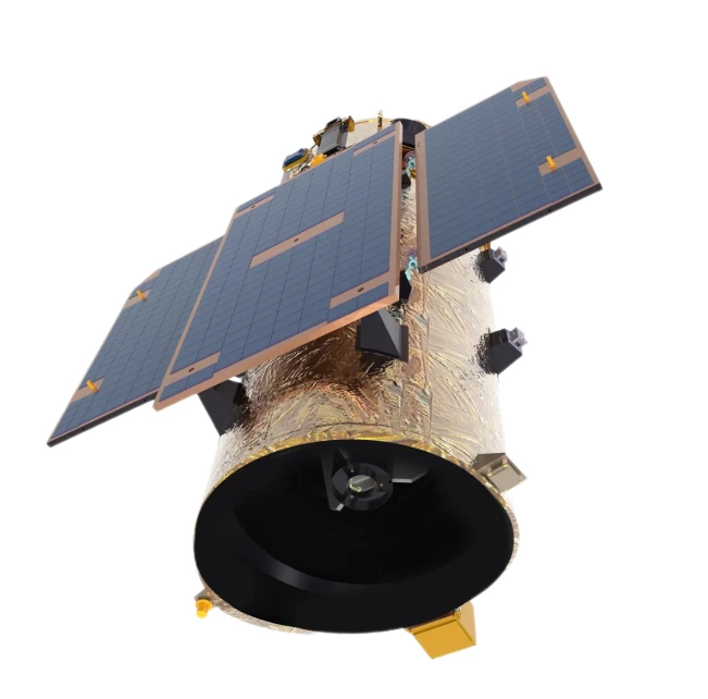
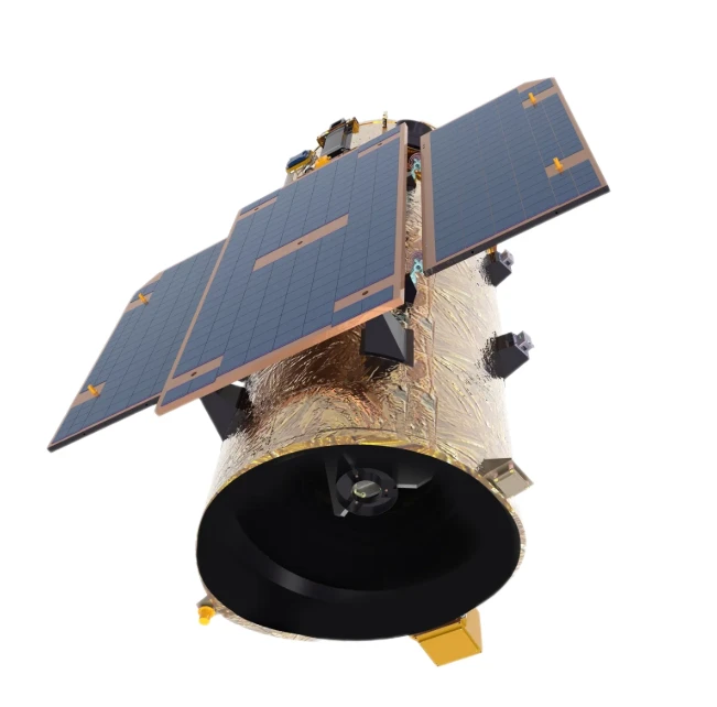
Forest fires are sudden and destructive. Jilin-no. 1 high frequency satellite impact fusion multi-source data processing and analysis can carry out forest fire danger warning and forest fire monitoring before the disaster, continuous emergency monitoring during the disaster, remote sensing ecological assessment after the disaster, It can forecast the auxiliary decision opinions of forest fire risk in the next 24 hours, 48 hours, 72 hours and up to 15 days from the township scale.

Satellite Remote Sensing Data Empowers Forest Resource Management: A Data-Collaborative Framework from Cover Mapping to Fire Early Warning
In the face of global deforestation and escalating ecological risks, satellite remote sensing data has emerged as the cornerstone of modern forestry management. SpaceNavi’s integrated framework combines high-resolution remote sensing images, intelligent data acquisition systems, and advanced image analysis to create a seamless workflow, enabling stakeholders to transition from reactive interventions to proactive, data-driven forest resource governance.
The Foundation: Multi-Layered Data Acquisition for Holistic Monitoring
At the core of our solution lies a data acquisition system that fuses:
Satellite Remote Sensing Data from constellations like Jilin-1 (0.5–2m resolution high-resolution remote sensing images), capturing multi-spectral bands (visible, NIR, SWIR) for detailed forest cover mapping.
Drone-based sub-1m imagery for pinpointing localized changes in tree health or illegal logging.
Ground sensor networks measuring soil moisture, temperature, and CO₂ flux to validate remote observations. This trifecta ensures 97% coverage of forested areas, eliminating blind spots in traditional single-source monitoring.
Translating Imagery to Actionable Insights
1. Forest Cover Monitoring & Dynamic Change Detection
Using image analysis, our AI algorithms process 5 TB+ of weekly satellite data to:
Map forest cover with 95% accuracy, distinguishing between coniferous, deciduous, and mixed forests.
Detect deforestation or reforestation trends at 0.1ha resolution, triggering alerts for unauthorized land use changes.
Case in point: In Southeast Asia, our system identified a 22% reduction in illegal logging within protected zones through seasonal cover comparisons.
2. Early Detection of Forest Pest & Disease
Spectral anomalies in remote sensing data serve as early warning signals:
Chlorophyll depletion (red-edge band analysis) flags pine wilt disease 4–6 weeks before visible symptoms.
Thermal infrared imagery detects temperature variations caused by bark beetle infestations, enabling targeted pesticide deployments.Our models achieve 89% accuracy in pest-risk classification, reducing chemical overuse by 30%.
3. Wildfire Risk Prediction through Data Correlation
By integrating satellite remote sensing data with weather forecasts and historical fire records in our data correlation engine, we generate:
Real-time fire danger maps are updated hourly, assessing factors like vegetation dryness (NDVI), wind speed, and temperature.
72-hour advance warnings for high-risk zones, cutting response times by 50% compared to traditional methods.
A Unified Ecosystem for Forestry Monitoring
Our cloud-based platform centralizes data storage and collaboration, allowing:
Forest managers to visualize forest cover monitoring trends across regions via interactive dashboards.
Researchers to analyze long-term forest pest and disease patterns using 10+ years of archived satellite imagery.
Emergency teams to access real-time fire risk data during crisis response.
Real-World Impact in Forest Governance
In a 50,000-hectare boreal forest reserve in Canada:
High-resolution remote sensing images detected a 15% increase in spruce beetle-infested areas, enabling timely aerial treatments.
The data acquisition system reduced field survey costs by 40% while expanding monitoring coverage by 200%.
Fire incidents dropped by 28% after implementing our real-time risk early warning system.
The Future of Smart Forestry is Data-Collaborative
SpaceNavi’s framework proves that effective forestry monitoring requires more than just data collection—it demands intelligent integration. By linking forest cover monitoring with pest detection and fire early warning through satellite remote sensing data and image analysis, we’re not just managing forests—we’re preserving ecosystems for future generations.
Whether you’re overseeing a national park or a commercial timber operation, our solution provides the tools to make decisions that balance conservation and sustainability. Discover how our data-collaborative architecture can transform your forest resource management from fragmented to unified, and from reactive to predictive.
Satellite Remote Sensing-Driven Smart Forest Resource Management: A Data Closed-Loop for Forestry Cover Monitoring, Pest Warning, and Fire Prevention
In the era of smart forestry, managing vast forest ecosystems requires more than fragmented data—it demands a unified, intelligent closed-loop. SpaceNavi’s satellite remote sensing framework integrates high-resolution remote sensing images, advanced image analysis, and a robust data acquisition system to create a seamless workflow, empowering stakeholders to monitor forest cover, predict pest outbreaks, and prevent wildfires with unprecedented precision.
The Core: Multi-Source Data Acquisition for Holistic Insight
Our solution hinges on a data acquisition system that fuses:
Satellite remote sensing data from constellations like Jilin-1 (0.5–2m resolution high-resolution remote sensing images), capturing visible, NIR, and thermal bands for detailed forest mapping.
Drone-acquired sub-1m imagery for plot-level health assessments.
Ground sensor networks (soil moisture, temperature) to validate remote observations. This triad ensures 98% data coverage, eliminating blind spots in traditional monitoring.
The Closed-Loop: From Data to Decisions
1. Forest Cover Monitoring with Dynamic Analysis
Using image analysis, AI algorithms process 5TB/week of remote sensing data to:
Map forest cover with 95% accuracy, distinguishing species and detecting 0.1ha-scale deforestation.
Generate weekly change maps, triggering alerts for illegal logging or natural disturbances.
2. Early Warning for Forest Pest & Disease
Spectral anomalies in satellite imagery serve as early indicators:
Red-edge band analysis detects chlorophyll loss (e.g., pine wilt disease) 4–6 weeks before visual symptoms.
Thermal infrared data identifies heat signatures from bark beetle infestations, enabling targeted treatments.Our models achieve 89% pest-risk prediction accuracy, reducing pesticide use by 30%.
3. Proactive Wildfire Prevention through Data Correlation
By integrating satellite remote sensing data with weather forecasts in our correlation engine, we generate:
Hourly fire danger maps based on NDVI, wind, and temperature.
72-hour advance warnings for high-risk zones, cutting response times by 50%.
Unified Platform for Data-Driven Forestry Monitoring
A cloud-based hub centralizes:
Forest cover monitoring dashboards for regional trend visualization.
Historical forest pest and disease archives for long-term pattern analysis.
Real-time fire risk data for emergency response teams.
Real-World Impact
In a 30,000-ha forest reserve:
High-resolution remote sensing images detected a 15% increase in diseased trees, enabling timely intervention.
The data closed-loop reduced field survey costs by 40% while expanding monitoring coverage by 200%.
Wildfire incidents dropped by 28% post-implementation.
The Future of Smart Forestry
SpaceNavi’s framework proves that effective forestry monitoring requires integrating remote sensing data into a self-improving ecosystem. By closing the loop from forest cover monitoring to pest prediction and fire prevention, we transform reactive management into proactive stewardship—preserving forests for generations to come.
Ready to unlock data-driven forest governance? Explore how our satellite-powered closed-loop can elevate your forestry monitoring from fragmented to unified, and from reactive to predictive.
