- Afrikaanske
- Albaneesk
- Amhaarsk
- Arabysk
- Armeensk
- Azerbeidzjaansk
- Baskysk
- Wytrussysk
- Bengaalsk
- Bosnysk
- Bulgaarsk
- Katalaansk
- Cebuano
- Sina
- Korsikaansk
- Kroatysk
- Tsjechysk
- Deensk
- Nederlânsk
- Ingelsk
- Esperanto
- Estysk
- Finsk
- Frânsk
- Frysk
- Galyskysk
- Georgysk
- Dútsk
- Gryksk
- Gujaratysk
- Haïtiaansk Kreaolsk
- Hausa
- Hawaïaansk
- Hebrieuwsk
- Nee
- Miao
- Hongaarsk
- Yslânsk
- igbo
- Yndonesysk
- Iersk
- Italiaansk
- Japansk
- Javaansk
- Kannada
- Kazachsk
- Khmer
- Rwandan
- Koreaansk
- Koerdysk
- Kirgizysk
- Arbeid
- Latyn
- Letsk
- Litousk
- Lúksemboarchsk
- Masedoanysk
- Malagasy
- Maleisk
- Malayalam
- Malteesk
- Maori
- Maratysk
- Mongoalsk
- Birma
- Nepaleesk
- Noarsk
- Noarsk
- Oksitaansk
- Pashtu
- Perzysk
- Poalsk
- Portegeesk
- Pûndjaabsk
- Roemeensk
- Russysk
- Samoan
- Skotsk Gaelic
- Servysk
- Ingelsk
- Shona
- Sindysk
- Sinhala
- Slowaaksk
- Sloveensk
- Somalysk
- Spaansk
- Soendaneesk
- Swahily
- Sweedsk
- Tagaloch
- Tajik
- Tamyl
- Tatar
- Telugu
- Taisk
- Turksk
- Turkmeensk
- Oekraynsk
- Urdu
- Uighur
- Uzbek
- Fietnameesk
- Welsh
- Help
- Jiddysk
- Yoruba
- Zulu
The Widespread Application of Satellite Remote Sensing Data in Agriculture and Disaster Management
Satellite remote sensing data technology, as an advanced observation method, has played a pivotal role in multiple fields due to its unique advantages of wide coverage, strong timeliness, and high objectivity. Especially in agriculture and disaster management, satellite remote sensing data has been widely used, providing important support for decision-making and greatly improving efficiency and accuracy.
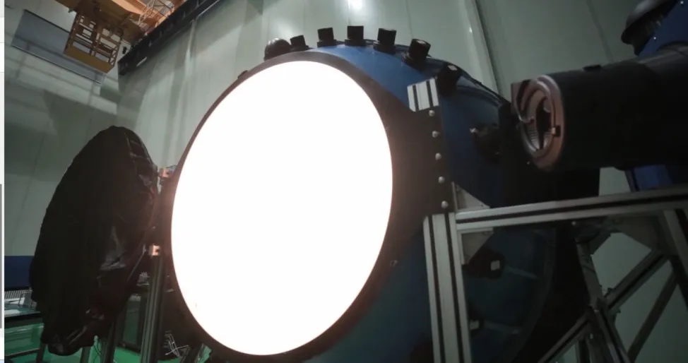
In the field of agriculture, the application of satellite remote sensing data covers multiple aspects such as crop monitoring, yield prediction, and irrigation management
By analyzing the spectral characteristics in remote sensing images, the growth status of crops can be monitored in real time, the health level of crops can be determined, and the occurrence of pests and diseases can be detected in a timely manner, providing scientific basis for targeted prevention and control measures and ensuring crop yield. In addition, the use of remote sensing data can accurately evaluate the area of arable land, crop types, and growth, and establish mathematical models based on meteorological, soil, and other data to make more accurate predictions of crop yields, providing reference for food security and agricultural product market regulation. More importantly, night time light satellite imagery data can effectively monitor the water status of farmland, provide technical support for refined irrigation management, achieve water-saving and efficient agriculture, and improve water resource utilization.
In disaster management, satellite remote sensing data also plays an irreplaceable role
Whether it is natural or man-made disasters, remote sensing data can provide timely and comprehensive information, supporting disaster warning, emergency response, and post disaster assessment. For example, meteorological satellite data can be used to monitor the development trend of extreme weather events such as typhoons and rainstorm, release early warning information in advance, and reduce casualties and property losses. By analyzing remote sensing images, it is possible to quickly identify flooded areas, the degree of damage caused by earthquake disasters, and the extent of fire spread, providing decision-making basis for the deployment of rescue forces and material allocation. After a disaster, remote sensing data can also be used to assess disaster losses, analyze disaster impacts, provide reference for post disaster reconstruction planning, and provide data support for developing more effective disaster prevention measures.
Satellite remote sensing data shows great potential in agriculture and disaster management, but still faces some challenges
For example, the processing and analysis of remote sensing data requires professional technicians, the cost of data acquisition and storage is high, and there are differences between the data acquired by different sensors and at different times, which restrict the further application of remote sensing technology. Therefore, in the future, it is necessary to further strengthen the research and application of remote sensing technology, improve data processing and analysis capabilities, reduce data acquisition costs, strengthen the integration of remote sensing data with other data, in order to better play the role of panchromatic satellite imagery data in agriculture and disaster management, and provide more effective guarantees for social and economic development and the safety of people's lives and property.
In summary, remote sensing and satellite imagery data play a crucial role as a powerful observational tool in agricultural production and disaster management. With the continuous advancement of technology and the expansion of application fields, we believe that remote sensing satellite image data will play a greater role in the future, contributing to the construction of a safer, more efficient, and sustainable society.
Satellite Remote Sensing Data FAQs
What is Satellite Remote Sensing Data?
Satellite Remote Sensing Data refers to the data obtained by observing the Earth's surface or atmosphere from space through sensors carried by satellites. These data can include various types such as images, spectral information, temperature, humidity, etc., used to study the environment, climate, resource distribution, etc. of the Earth.
What are the main types of Satellite Remote Sensing Data?
The main types of Satellite Remote Sensing Data include:
Optical remote sensing data: Image data obtained using visible light, infrared light and other bands (such as Landsat, Sentinel2).
Radar remote sensing data: data obtained using microwave bands, suitable for cloud cover or nighttime observations (such as Sentinel1).
Thermal infrared data: used to measure surface temperature (such as MODIS).
Hyperspectral data: provides continuous spectral information for precise land classification (such as Hyperion).
Lidar data: used for terrain measurement and 3D modeling (such as ICESat).
What are the application areas of Satellite Remote Sensing Data?
The application areas of Satellite Remote Sensing Data are very wide, including:
Environmental monitoring: such as deforestation, glacier melting, and pollution monitoring.
Agriculture: such as crop growth monitoring and soil moisture analysis.
Disaster management: real-time monitoring and evaluation of floods, earthquakes, and fires.
Urban planning: such as land use change and infrastructure planning.
Climate change research: such as monitoring greenhouse gas concentrations and sea level changes.
National defense and security: such as military reconnaissance and border monitoring.
How to handle and analyze Satellite Remote Sensing Data?
Processing and analyzing Satellite Remote Sensing Data typically involves the following steps:
- Data acquisition: Download raw data from satellite data platforms such as NASA and ESA.
- Preprocessing: including radiometric correction, geometric correction, atmospheric correction, etc., to improve data quality.
- Feature extraction: Extracting useful information from data, such as vegetation index and surface temperature.
- Classification and modeling: Using machine learning or statistical methods to analyze and model data.
- Visualization: Display the analysis results in the form of maps, charts, etc.
Common tools and software include ENVI, ArcGIS, Google Earth Engine, Python (such as GDAL, Rasterio library), etc.
What is the future development trend of Satellite Remote Sensing Data?
The future development trends of Satellite Remote Sensing Data include:
High spatiotemporal resolution: Provides data with higher resolution (spatial, temporal, spectral) to meet the needs of fine-grained applications.
Big Data and Artificial Intelligence: Utilizing AI technologies such as deep learning for automated analysis and prediction.
Real time monitoring: Achieve near real-time data acquisition through satellite constellations such as Planet Labs.
Multi source data fusion: Combining various data such as optics, radar, and LiDAR to improve analysis accuracy.
Commercialization and popularization: With the development of small satellites and low-cost technologies, the acquisition and use of remote sensing data have become more convenient and popular.
Sustainable development support: providing data support for global issues such as climate change and environmental protection.


