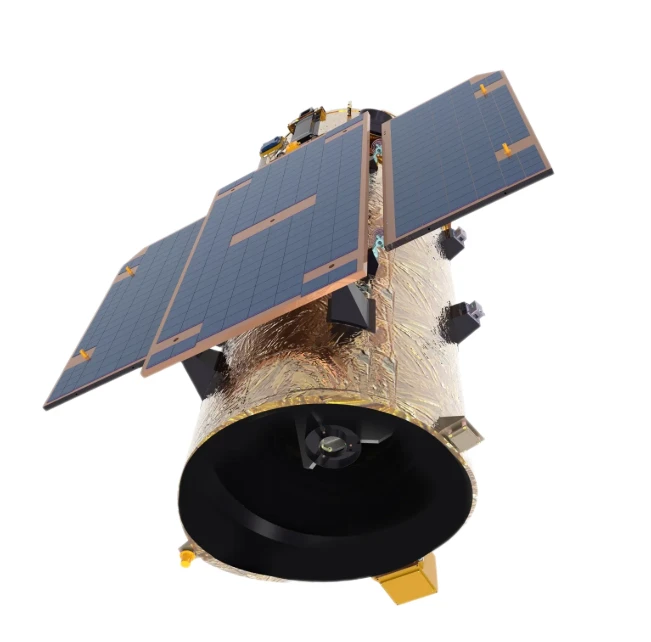
- afrikano
- albana
- Amhara
- araba
- la armena
- Azerbajĝana
- eŭska
- Belarusian
- bengala
- bosnia
- bulgaro
- kataluna
- Cebuano
- Ĉinio
- korsika
- kroata
- ĉeĥa
- dana
- nederlanda
- la angla
- Esperanto
- estona
- finna
- franca
- frisa
- galego
- kartvela
- germana
- greka
- Gujaratio
- Haitian Creole
- Hausa
- havajano
- la hebrea
- Ne
- Miao
- hungara
- islanda
- igbo
- indonezia
- irlandano
- itala
- Japanoj
- la javano
- Kannada
- kazaĥo
- ĥmeroj
- Ruando
- korea
- kurda
- Kirgizoj
- Laboro
- la latina
- latva
- litova
- luksemburga
- makedona
- malagasaj
- malaja
- la malajala
- malta
- maoria
- Maratio
- mongola
- Mjanmao
- nepala
- norvega
- norvega
- okcitana
- Paŝto
- la persa
- pola
- portugala
- panĝaba
- rumana
- rusa
- samoano
- Skotgaela
- serba
- la angla
- Ŝona
- Sinda
- Sinhala
- la slovaka
- sloveno
- Somalo
- hispana
- Sundanese
- Svahila
- sveda
- la tagaloga
- taĝiko
- la tamila
- tataro
- la telugua
- tajlanda
- turka
- turkmenoj
- ukraina
- Urdu
- ujgura
- uzbeko
- vjetnama
- kimra lingvo
- Helpu
- jida
- joruboj
- la zulua
Agrikultura Apliko
parametro
|
Agricultural resources Survey |
Cultivated land protection |
|
Land use survey |
Monitoring of "non-agricultural" cultivated land |
|
Investigation of cultivated land resources |
"Non-grain" monitoring |
|
Monitoring of crop planting area
|
Black land protection |
|
Agricultural greenhouses, agricultural film identification
|
Quality evaluation of cultivated land |
|
|
Evaluation of land cultivation suitability
|
parametro
|
Agricultural monitoring |
Agricultural Insurance Services |
|
Large area crop distribution monitoring |
Inspection of insured subject matter |
|
Fine crop distribution monitoring |
Time series growth monitoring |
|
Monitoring of agricultural activities |
Disaster warning and loss assessment |
|
Soil environment monitoring by remote sensing |
Crop loss assessment and claim settlement |
|
Fine crop growth monitoring |
Improvement of rural living environment |
|
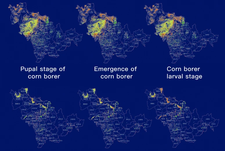
Early warning of crop diseases and insect pests |
Monitoring of informal garbage sites in rural areas |
|
Refined crop maturity monitoring |
Full quantitative monitoring of straw |
|
Crop yield prediction and estimation |
Black and odorous water body identification |
|
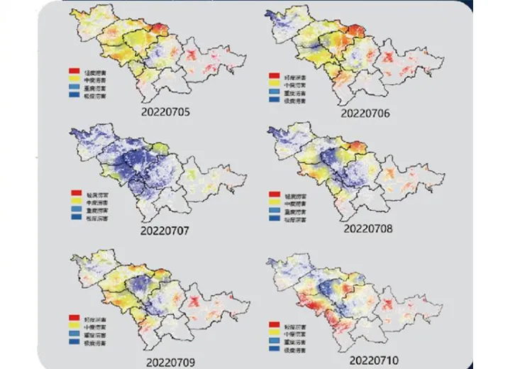
Agrometeorological disaster early warning |
Agricultural Disaster Warning
Agricultural disaster early warning based on multi-temporal satellite data, climate conditions, crop distribution data, to achieve long-term forecast and early warning of different crops, different diseases and pests (in the next 7-10 days)
72-hour early warning of flood disasters is carried out by using meteorological data, topographic data and satellite data
High-Resolution Remote Sensing Drives Precision Agriculture: Intelligent Analysis from Satellite Data to Crop Health
In modern agriculture, the ability to monitor crop health with granular precision can mean the difference between a bountiful harvest and costly losses. SpaceNavi’s high-resolution remote sensing framework leverages satellite remote sensing data, advanced image analysis, and a robust data acquisition system to transform raw imagery into actionable insights—enabling farmers and agronomists to manage fields with unprecedented accuracy.
The Foundation: High-Resolution Data Acquisition
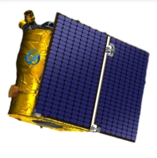
At the core of our solution lies 0.5–2m resolution high resolution remote sensing images sourced from constellations like Jilin-1 and Sentinel-2. These images, capturing visible, NIR, and SWIR bands, form the backbone of our remote sensing data portfolio. Our proprietary data acquisition system seamlessly integrates:
Daily satellite overpass data for regional-scale monitoring
Drone-based imagery for field-level detail (sub-1m resolution)
In-situ sensor data (soil moisture, temperature) to ground-truth remote observations
Translating Images to Insights: The Power of Image Analysis
1. Crop Health Mapping via Image Classification
Machine learning algorithms process 10TB+ of weekly imagery, using image classification to distinguish crop types (maize vs. wheat) and detect stress indicators:
Chlorophyll deficiency (red-edge band analysis)
Water stress (thermal infrared moisture mapping)
Pest infestations (unusual spectral reflectance patterns)
Accuracy exceeds 93%, allowing early intervention before symptoms become visible to the naked eye.
2. Data Correlation for Holistic Modeling
By linking remote sensing data with historical yield records, weather patterns, and irrigation schedules in our data correlation engine, we create predictive models:
Yield forecasts with 8% error margin (vs. 15% industry average)
Nitrogen fertilizer optimization maps, reducing usage by 20%
Drought resilience indices to guide crop rotation strategies
Secure Storage and Collaborative Sharing
All data feeds into our cloud-based data storage platform, designed for agricultural scalability:
End-to-end encryption for sensitive field data
API-driven data sharing portals enabling real-time collaboration between farmers, agribusinesses, and researchers
Temporal analysis tools to visualize crop growth trajectories over seasons
Real-World Impact in Precision Farming
In a 50,000-hectare wheat plantation in Ukraine:
High-resolution remote sensing images identified 15% of fields with early-stage root rot, allowing targeted fungicide application
Data correlation revealed a 30% yield boost in plots following our irrigation recommendations
The system reduced drone flight time by 40% through smart satellite-drone tasking, optimizing data acquisition costs
The Future of Agriculture is Data-Driven
SpaceNavi’s framework proves that high-resolution remote sensing isn’t just about capturing images—it’s about creating a digital twin of your farm. By integrating image analysis, data classification, and intelligent data sharing, we turn scattered data points into a unified ecosystem for decision-making.
Whether you’re managing a small vineyard or a vast agricultural estate, our solution ensures every hectare receives the precise care it needs. Discover how our blend of satellite remote sensing data, cutting-edge analytics, and scalable data storage can elevate your crop health monitoring from reactive to predictive.
Ready to unlock the potential of your fields? Contact us to explore how high-resolution remote sensing can drive your precision agriculture strategy forward.
Smart Agriculture Data Management Architecture: Building an Ecosystem from Remote Sensing Image Classification to Multi-Source Data Sharing
In the era of smart agriculture, managing the deluge of data from diverse sources is as critical as the insights it yields. SpaceNavi’s integrated data management architecture orchestrates remote sensing data, image analysis, and data storage to create a unified ecosystem—enabling farmers to transform fragmented information into precision farming strategies.
The Foundation: Multi-Source Data Acquisition
Our framework begins with a robust data acquisition system that fuses:
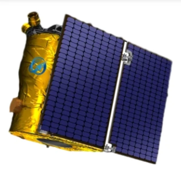
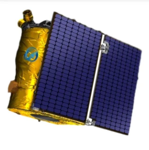
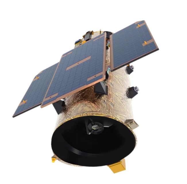
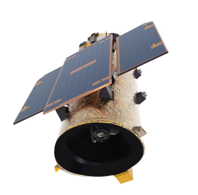
Satellite remote sensing data from constellations like Jilin-1 (0.5–2m resolution high resolution remote sensing images) for regional crop monitoring.
Drone-acquired sub-1m imagery for field-level details.
In-situ sensor data (soil pH, moisture) to ground-truth satellite observations.This multi-layered approach ensures 98% data coverage, eliminating blind spots in traditional single-source systems.
Transforming Imagery into Intelligence
Advanced Image Classification
Machine learning algorithms process 10TB+ weekly data, using image classification to:
Distinguish crop types (maize, wheat) with 95% accuracy.
Detect stress indicators via spectral analysis (chlorophyll deficiency, water stress).
Map pest infestations before visual symptoms appear.
Holistic Data Correlation
Our data correlation engine links remote sensing data with historical yields, weather patterns, and irrigation records to build predictive models:
Yield forecasts with 8% error (vs. 15% industry average).
Fertilizer optimization maps reducing nitrogen use by 20%.
Drought resilience indices for crop rotation planning.
Secure Storage and Collaborative Sharing
Data converges in our cloud-based data storage platform, featuring:
End-to-end encryption for sensitive field data.
API-driven data sharing portals enabling real-time collaboration among farmers, agronomists, and insurers.
Temporal analysis tools visualizing 5+ years of crop growth trajectories.
Real-World Ecosystem Impact
In a 30,000-hectare soybean plantation:
High resolution remote sensing images identified 18% of fields with early soybean cyst nematode infestations.
Data correlation improved irrigation efficiency by 35%, saving 1.2 million m³ of water annually.
The ecosystem reduced data silos by 60%, cutting decision-making time from weeks to hours.
The Future of Data-Driven Farming
SpaceNavi’s architecture proves that smart agriculture thrives on interconnected data. By integrating image classification, data sharing, and intelligent data correlation, we’ve built a framework where every satellite pass, every sensor reading, and every analysis feeds into a self-improving ecosystem.
Whether managing a family farm or a corporate agribusiness, our solution ensures data-driven decisions at every growth stage. Discover how our fusion of satellite remote sensing data, scalable data storage, and collaborative data sharing can elevate your operation from reactive to predictive.
Ready to architect your smart agriculture future? Contact us to explore how our data management ecosystem can transform your farming strategy.
